

A Comparative Analysis of Strategic Approaches in the UK and Sri Lanka
As climate change continues to intensify the frequency and severity of extreme weather events, flood-induced transportation disruptions have emerged as a significant challenge for governments, urban planners, infrastructure agencies, and local communities worldwide. Flooding not only damages physical infrastructure but also disrupts mobility, limits access to essential services, and impacts economic activity.
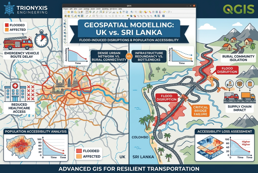
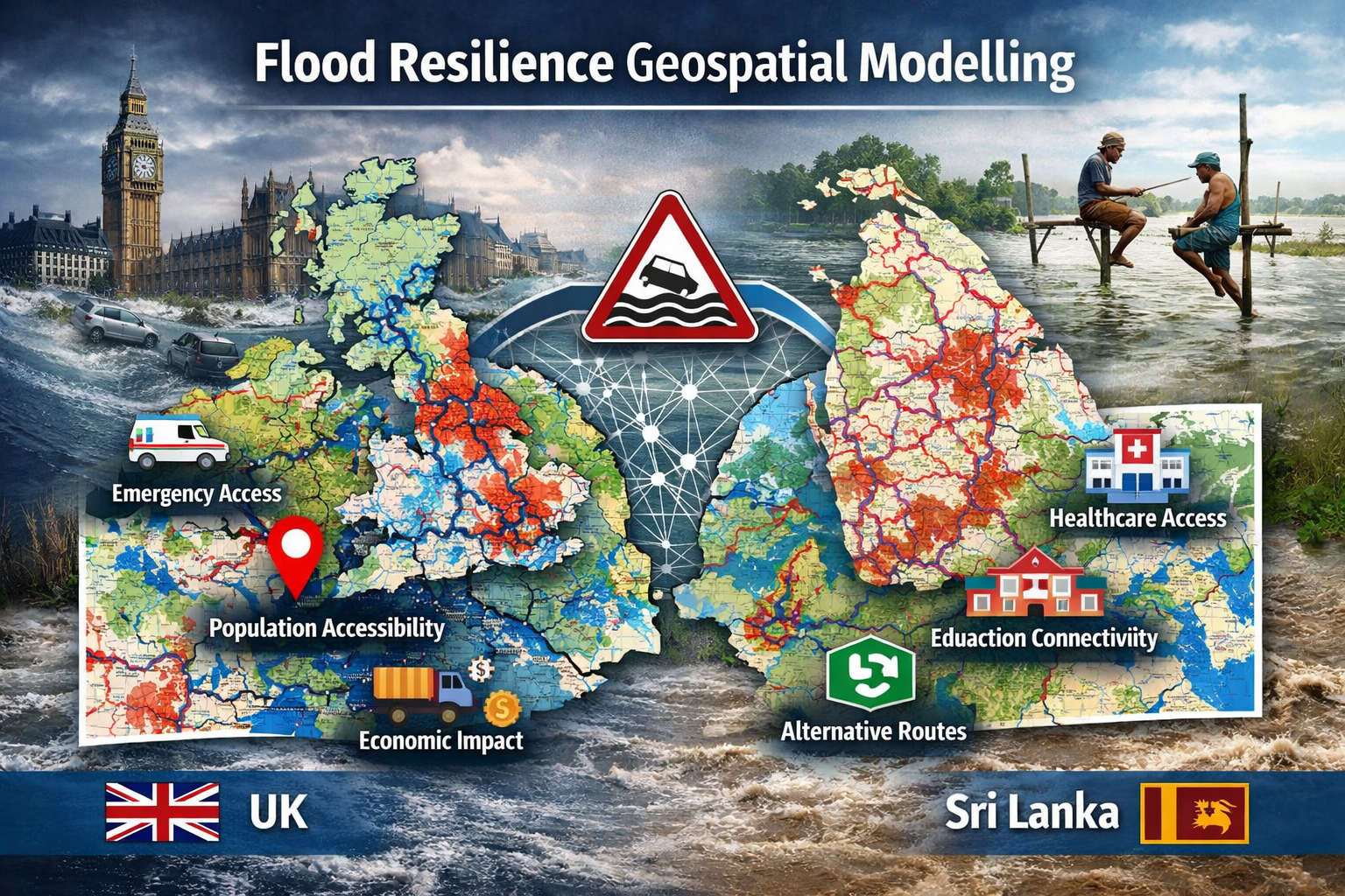
At Trionyxis Engineering, we are at the forefront of developing innovative geospatial solutions that help decision-makers better understand and mitigate these challenges. Our ongoing research, Geospatial Modelling of Flood-Induced Transportation Disruptions and Population Accessibility: A Comparative Analysis of Strategic Approaches in the UK and Sri Lanka, demonstrates how advanced Geographic Information Systems (GIS), network analysis, and spatial analytics can provide actionable insights for building resilient transportation systems.
Through the strategic application of QGIS, geospatial modelling, and accessibility analysis, we are transforming complex spatial datasets into intelligent decision-support tools capable of addressing some of today’s most pressing infrastructure and climate resilience challenges.
Transportation networks form the backbone of modern society. Roads, highways, and transportation corridors connect people to healthcare facilities, schools, workplaces, emergency services, and economic opportunities. When flooding occurs, these critical connections can be severely disrupted.
Even temporary road closures can create significant consequences:
- Delayed emergency response times
- Reduced access to healthcare facilities
- Disruptions to supply chains and logistics
- Economic losses for businesses and communities
- Isolation of vulnerable populations
- Increased recovery costs for local authorities
Traditional flood assessments often focus solely on the physical extent of flooding. While understanding flood exposure is important, it does not provide a complete picture of how communities are affected. Our research addresses this gap by examining not only where flooding occurs, but also how transportation network functionality and population accessibility change during flood events.
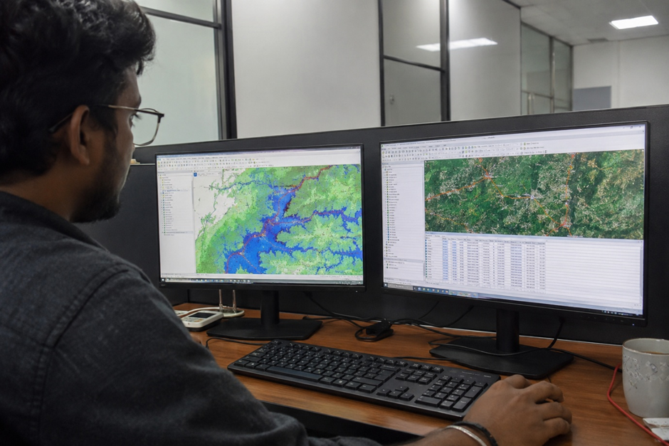
Modern GIS technology is no longer limited to map production. Today’s geospatial platforms function as advanced analytical systems capable of simulating real-world scenarios and supporting strategic planning processes.
Our research utilizes advanced geospatial modelling techniques to evaluate how transportation networks respond under various flood conditions. Through spatial overlay analysis, network modelling, and accessibility assessment, we can quantify the operational impacts of flooding across transportation systems.
This approach enables us to identify:
- Critical infrastructure vulnerabilities
- Transportation network bottlenecks
- Road segments susceptible to flood-related failure
- Accessibility reduction across affected communities
- Potential alternative transportation routes
- Infrastructure resilience improvement opportunities
These insights provide stakeholders with a significantly deeper understanding of transportation system performance under environmental stress conditions.
One of the most innovative aspects of our approach is the application of transportation network analysis.
Transportation systems operate as interconnected networks. A single flooded road segment can create cascading impacts across an entire region. Traditional assessments often overlook these network effects.
Using advanced GIS-based network modelling, we evaluate how flood events influence:
- Network connectivity
- Route availability
- Travel times
- Service accessibility
- Population mobility
- Infrastructure redundancy
By modelling transportation systems as dynamic networks, we can identify critical links whose failure would have disproportionate impacts on accessibility and regional mobility.
This network-centric perspective enables infrastructure planners to prioritize investments where they will produce the greatest resilience benefits.
While infrastructure damage can be quantified in financial terms, the societal consequences of accessibility loss are often more significant. Communities depend on reliable transportation networks to access essential services and opportunities.
Our research incorporates advanced population accessibility modelling techniques to evaluate how flood-induced disruptions affect community access to:
- Hospitals and healthcare facilities
- Emergency response services
- Educational institutions
- Employment centers
- Public services
- Transportation hubs
Through spatial accessibility analysis, we can identify areas where residents may become isolated during flood events and assess the severity of accessibility degradation across different population groups.
This information is particularly valuable for emergency planning, disaster response coordination, and long-term infrastructure investment strategies.
A unique aspect of our research is the comparative evaluation of flood resilience strategies across two distinct geographical and socio-economic contexts: the United Kingdom and Sri Lanka.
Although both countries face increasing flood risks, they differ significantly in terms of:
- Infrastructure development patterns
- Transportation network density
- Urbanization characteristics
- Climate adaptation strategies
- Disaster management frameworks
By applying a consistent geospatial modelling methodology across both contexts, we can identify best practices, transferable resilience measures, and opportunities for strategic improvement.
The comparative approach strengthens the research by demonstrating how advanced geospatial analytics can support decision-making across diverse environments and infrastructure systems.
As climate uncertainty increases, decision-makers require more sophisticated tools to anticipate risks and prioritize investments.
Geospatial intelligence provides a powerful mechanism for transforming large and complex datasets into actionable knowledge. Through advanced GIS analysis, spatial modelling, and network-based accessibility assessment, stakeholders can proactively identify vulnerabilities before disaster events occur.
Our research supports several key objectives:
- Climate adaptation planning
- Infrastructure resilience assessment
- Disaster risk reduction
- Emergency preparedness enhancement
- Sustainable urban development
- Smart transportation planning
- Evidence-based policy development
By integrating these capabilities into a unified analytical framework, we enable more informed and strategic decision-making processes.
At Trionyxis Engineering, innovation is driven by the belief that technology should generate meaningful societal impact. Through advanced geospatial modelling, transportation network analysis, and accessibility assessment, we are developing solutions that help communities better prepare for environmental challenges and adapt to a changing climate.
Our research highlights the transformative potential of QGIS, GIS-based spatial analytics, and geospatial intelligence in supporting resilient transportation systems and improving public accessibility during flood events.
By combining scientific rigor with cutting-edge geospatial technology, we are helping build smarter infrastructure, stronger communities, and a more resilient future.